
I've started writing my reflections on this year and the theme is clear: 2026 is the year that Shovels matured. We're a real business with real challenges. That's what happens when you go from 10 to over 20 people: processes and protocols that didn't exist before need to get sorted out.
And sort out we did. To give a quick review:
- We did our first SOC 2 Type 2 audit
- We removed a huge data dependency for permits
- And then removed another for properties
- We acquired, integrated, and expanded a decisions data product
- All this while improving our coverage and quality on permits and contractors
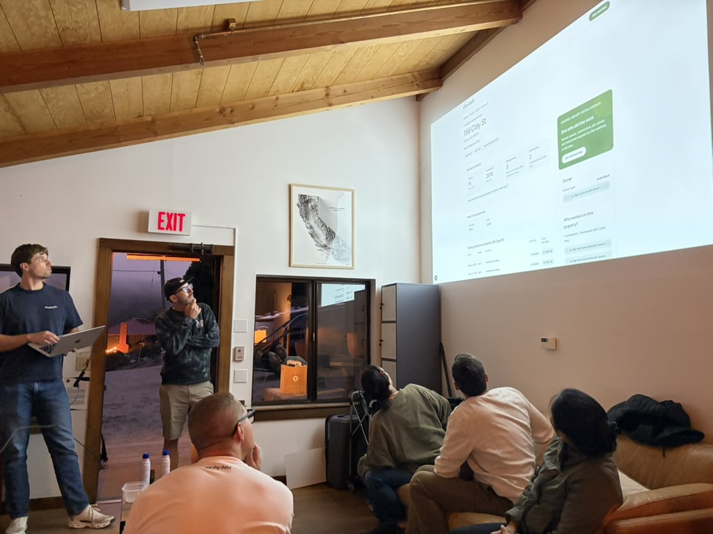
It feels like this whole year culminated in our big Shovels Summit where all 20+ of us descended on a hostel in Point Reyes, CA to hike and hack for three splendid days. Morgan published a nice write up about it.
In this memo, I want to dive into a few of our hackathon projects and what they imply for the future of Shovels.
I'll start with the one that might go live first: a Shovels plugin for Google Sheets.
Construction is an industry that still thrives on spreadsheets. We decided we should meet you halfway: in the cloud, but still in a spreadsheet. Google Sheets fits perfectly. With this plugin, you can enter an address in a cell and all the permits appear in a table beneath it. Enter a contractor's name, and their permits appear too. No need to leave the Sheet.
That's one of our tenets, to meet you where you're at.
Two other projects also bring our data closer to you. They answer simple questions. The first is, "Do I need a permit?" Instead of looking at the building code, we look empirically at the permit data. It doesn't matter that a permit is required if the jurisdiction doesn't actually enforce it. We can tell if a permit is needed by looking for similar permits in the jurisdiction.
Another common question is "What's the permit jurisdiction for this address?" We compute this geospatially and with our knowledge of which cities issue permits and which ones delegate to their counties. An address always shows if it's within the city limits. That's where our geotagging and spatial join comes in. We've now appended the true permit jurisdiction to 160M addresses in the US.
Then we looked at some enrichments to Shovels Online. One major one is called "Bring your own metadata." It allows customers to upload contractor names or license numbers, property addresses, cities, zip codes, even custom geometries, and we query them in bulk against our database. Many of you have asked for this! We now have a prototype.
A second project brought some of our property history above the authentication wall. This is more of a SEO play, but still would be helpful to the broader public. We have a lot of data on addresses and we'd start to show more of it to Google, and therefore to you, but also to the scraper bots 🫠.
Then we got into some hardcore modeling and new dataset generation. This part was really interesting. I'll start with the modeling projects.
First, we predicted how long a filed permit takes to get approved. We used 8.5 million permits from 220 jurisdictions to build our models against actual approval times, and then we pulled it forward to currently active permits and computed how likely each permit was to be approved in the next 3, 6, or 12 months. It looked awesome on a map! There's more work to be done here, but we created a process and we'll pick this back up when we have time (or if enough of you ask for it!)
Another interesting modeling exercise was to predict unpermitted work. This came down to a statistical question: if nearly every other surrounding house has pulled a roofing permit in the last 20 years, how likely is it for this particular house to NOT have a roofing permit? We computed the outliers and then used Google Maps StreetView's historical snapshots to check our findings. Unsurprisingly, there were a LOT of homes with new roofs and zero permit records. We'll refine this model further before sharing it with our insurance customers.
Finally, new datasets!
One group connected new development announcements and stories with our permit and decision data, tying news articles directly to our permit and decisions data, and helping us associate permits with specific commercial businesses, like big box retail stores and multi-family residential buildings. When we crossed our permit records against Overture Places point-of-interest data, we discovered we could refine commercial permits much more granularly. There's more to unpack here, but now we know what's possible.
We have had many customers request right-of-way permits, and this team delivered. These are tricky because while they do appear in some jurisdictions' building permit portals, many are state-level or come through planning or similar modules. We added 600 new sources to get this data, which includes detail about trenching along public roadways for water, power, and telecom development. This is powerful intel for our warehouse, logistics, and datacenter customers.
And one last project, which ties a lot of this together.
As I've written before, our Storm team has been collecting scanned PDFs in offline computer folders and physical filing cabinets that no scraper will ever reach. Through our interactions with nearly 1,000 jurisdictions, we also learned that they have no visibility into what's happening in the bordering jurisdictions. County planners don't get to see all the permits within the county if half the cities are separate jurisdictions using their own technology (or lack thereof) to process.
So we started to imagine what a government data dashboard would look like, built specially for people in city and county governments. We prototyped a system that allows governments to upload their data for public record requests, validate the files, and compare their activity and approval times with neighboring jurisdictions. We're looking for design partners, so reach out if your government would like to test drive!
I started this memo looking back on 2026. I end it looking ahead to 2027. So much to do — back to work!