Building permits tell you what’s changing nearby and how long it takes to put shovels in the ground. Shovels brings these insights to the surface so you can determine the best locations for your next development.

We partner with leading geospatial companies to bring you the best data and tools for your site selection process.


Shovels data science
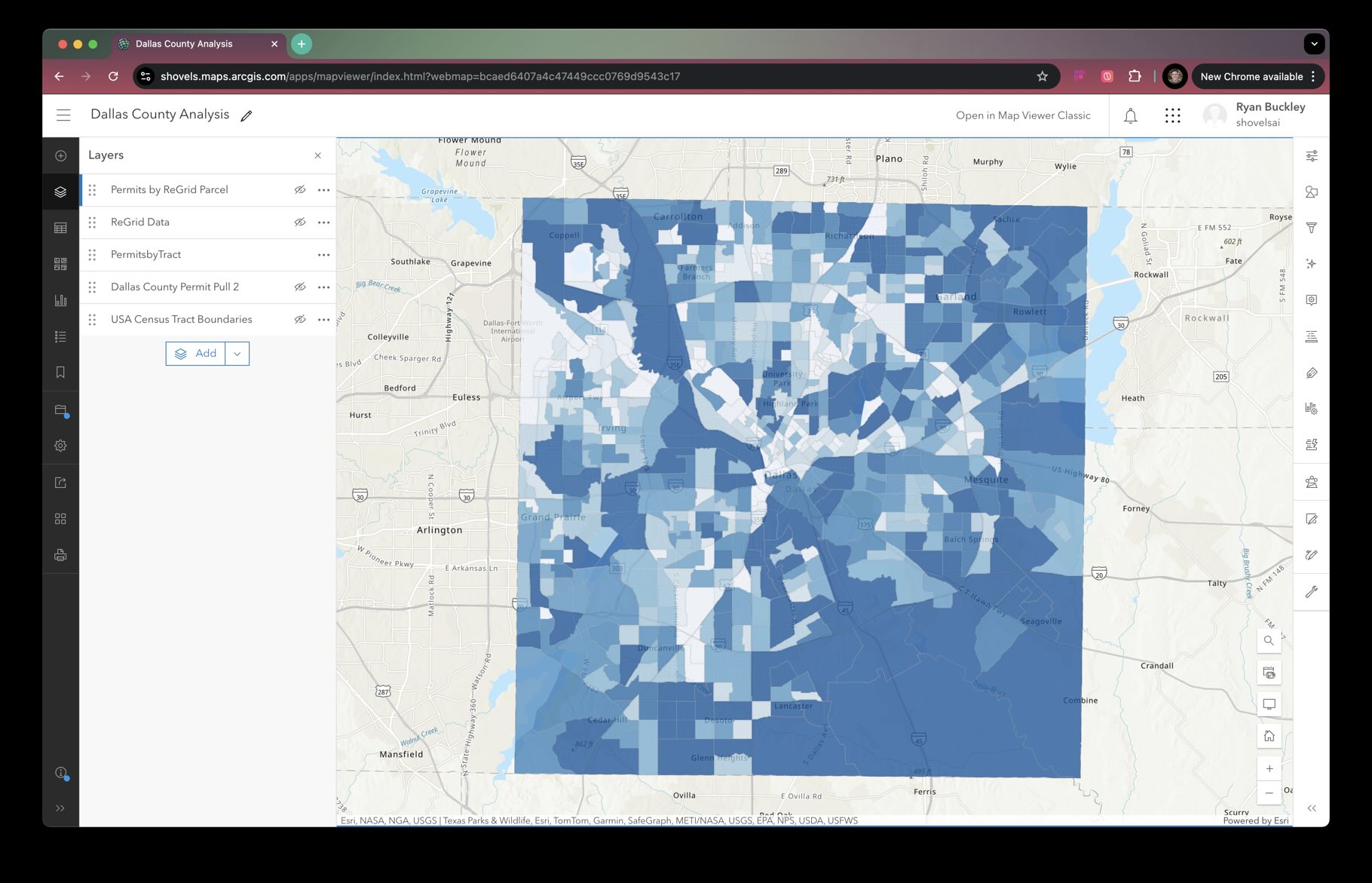
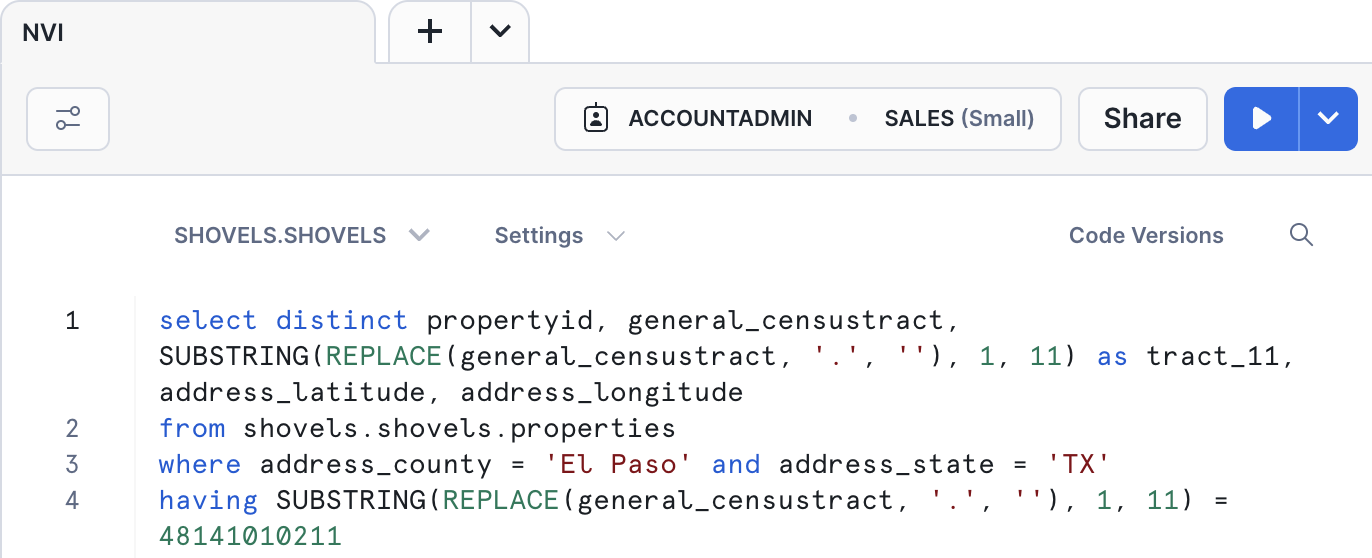
Through our partnerships with Esri and Regrid, Shovels calculates NVI by comparing the relative permit density of home improvement projects by census tract in every major metropolitan area in the country. Use NVI to find the most actively improving neighborhoods.
Building permit activity tells you what's happening now. City council decisions tell you what's coming next. Our Decisions data tracks zoning changes, development approvals, and housing policy discussions that predict where permit density will increase. Identify emerging development zones months before the first permit is filed.
Modern workflow
We use modern geospatial and data science techniques to bring you the most accurate and useful data possible.
City council decisions on zoning changes, development approvals, and housing policy create the conditions for future permit activity. Our Decisions data tracks upzoning discussions, pro-development council votes, and policy changes that signal where permit density will increase—giving you visibility into emerging development zones months before the first permit is filed.
Yes. Shovels Decisions data monitors city council meetings for upzoning discussions, zoning changes, and development approvals across municipalities. This helps you spot policy changes before land values adjust and assess the political viability of large developments before committing capital.
NVI is a metric calculated by Shovels through partnerships with Esri and Regrid. It compares the relative permit density of home improvement projects by census tract in every major metropolitan area, helping you identify the most actively improving neighborhoods for real estate development and investment.
Shovels tracks city council voting patterns, housing policy discussions, and development approval trends to distinguish between councils that support growth and those with restrictive policies. This intelligence helps you focus on markets where development projects are more likely to receive approval and face fewer regulatory obstacles.