Add permit insights and predictive analytics to your product without building your own data pipeline.







Shovels is SOC 2® Type II certified
We meet the security and compliance requirements of construction technology companies and their enterprise customers. SOC 2 Type II means our controls were audited over time, giving your security team and enterprise buyers the assurance they need to approve us as a vendor.
01
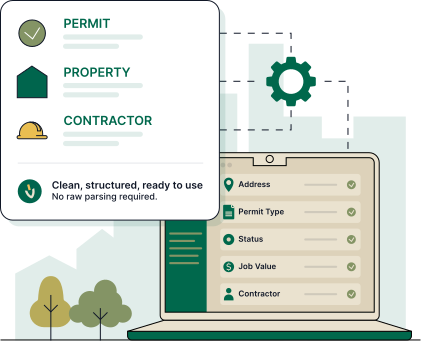
Get clean property data via API that supports analytics, location intelligence, and contractor-facing insights.
02
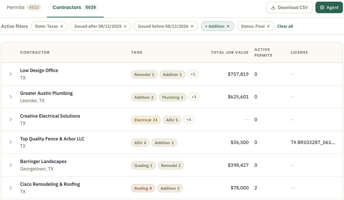
Permit history linked to state license data gives your platform a multi-signal view of every contractor. Know who is active, licensed, and where they work.
03
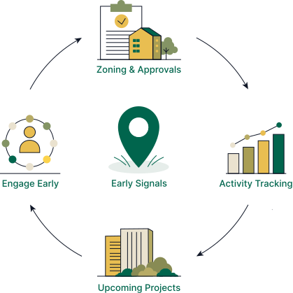
Use Shovels Decisions data to surface approvals and zoning decisions, giving your customers valuable early signals to beat out competitors.
04
Shovels refreshes permit status twice monthly with changelog tracking. Deliver accurate, current permit data to your customers automatically. No maintenance required.
05
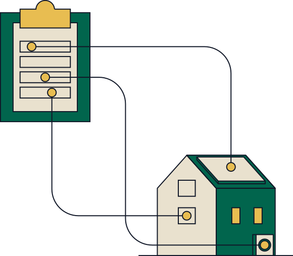
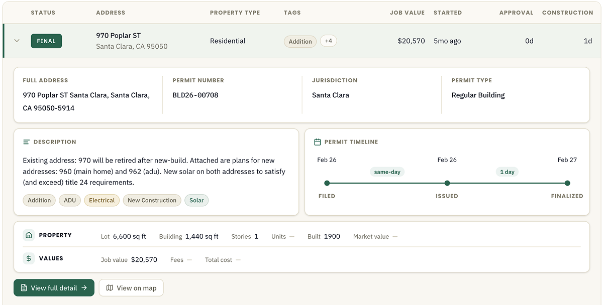
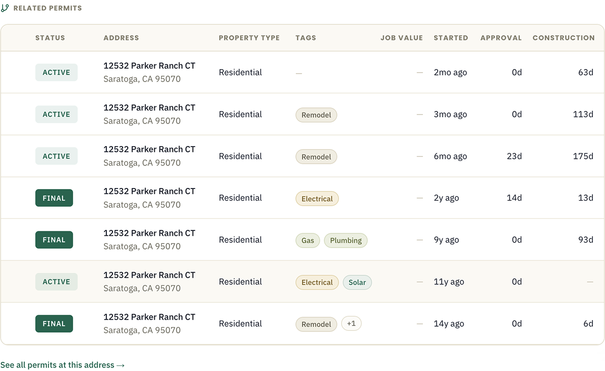
Every permit on record for a given address, with dates, work types, job values, permit status, and APN. Link any address to parcel records in GIS or underwriting workflows.

Access our data via API, SFTP, Snowflake, BigQuery, or Databricks. Custom feeds are also available.

Clean, structured inputs out of the box. No raw text parsing required. Check out our data dictionary for details.

Millions of new records (online and offline sources) are added each cycle to keep your data fresh.
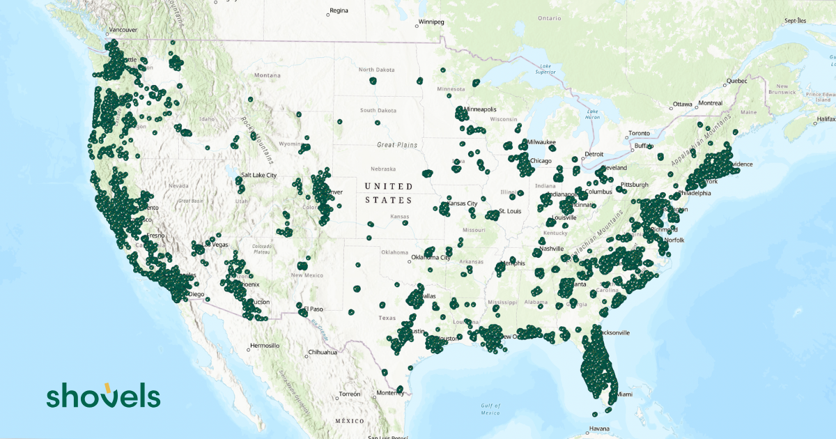
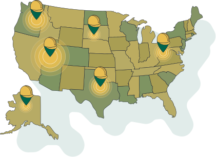
We source data from thousands of jurisdictions online and offline through public records. New jurisdictions are added continuously based on market trends & customer demand, with coverage spanning all major metros and expanding rural markets.
No. Shovels delivers permit and contractor data directly to Snowflake, BigQuery, Databricks, or via API. Your engineering team gets clean, structured data without building or maintaining jurisdiction scrapers.
Shovels refreshes permit data twice monthly across 2,820+ jurisdictions and tracks status changes via changelog. Your platform always has current permit status without polling individual jurisdictions.
Yes. Shovels matches permit records to state contractor license files from 37 states, giving you a multi-signal verification layer including trade classification, license status, geographic coverage, and permit history.
Shovels is a data layer for proptech companies building on construction and property activity. Proptech companies use Shovels for contractor verification, project discovery, and market analytics. Proptech software development teams get clean data via API or directly into Snowflake, BigQuery, or Databricks.
Shovels provides two data layers for predictive analytics: permit data (filed permits with contractor, location, and project details) and Shovels Decisions (pre-permit intelligence from city council agendas and project applications). Together, these let construction technology platforms surface project signals weeks or months before ground breaks, giving customers a genuine predictive advantage in project discovery, contractor targeting, and territory planning.
Shovels permit data is structured for geospatial analysis — each record includes jurisdiction, address, geocode, contractor, trade, and project type. Construction technology platforms use this for geospatial analytics in construction including permit density mapping, territory heat maps, market sizing by region, and location-based project discovery features. Data is available via API or direct delivery into Snowflake, BigQuery, or Databricks for integration into existing geospatial stacks.
See how Shovels helps construction technology teams build better products with permit and contractor data.