
Building permits are the first sign of what's getting built, and where. Shovels delivers 196M+ geocoded, AI-enriched permits as hosted feature layers, ready to load into Esri ArcGIS, QGIS, or any modern GIS platform.





01
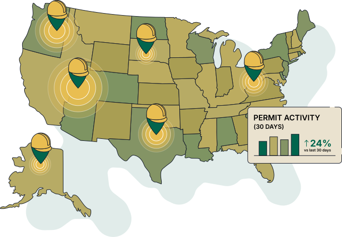
Every Shovels permit is geocoded and enriched with AI-derived attributes—project type, value, contractor, inspection outcome.
02
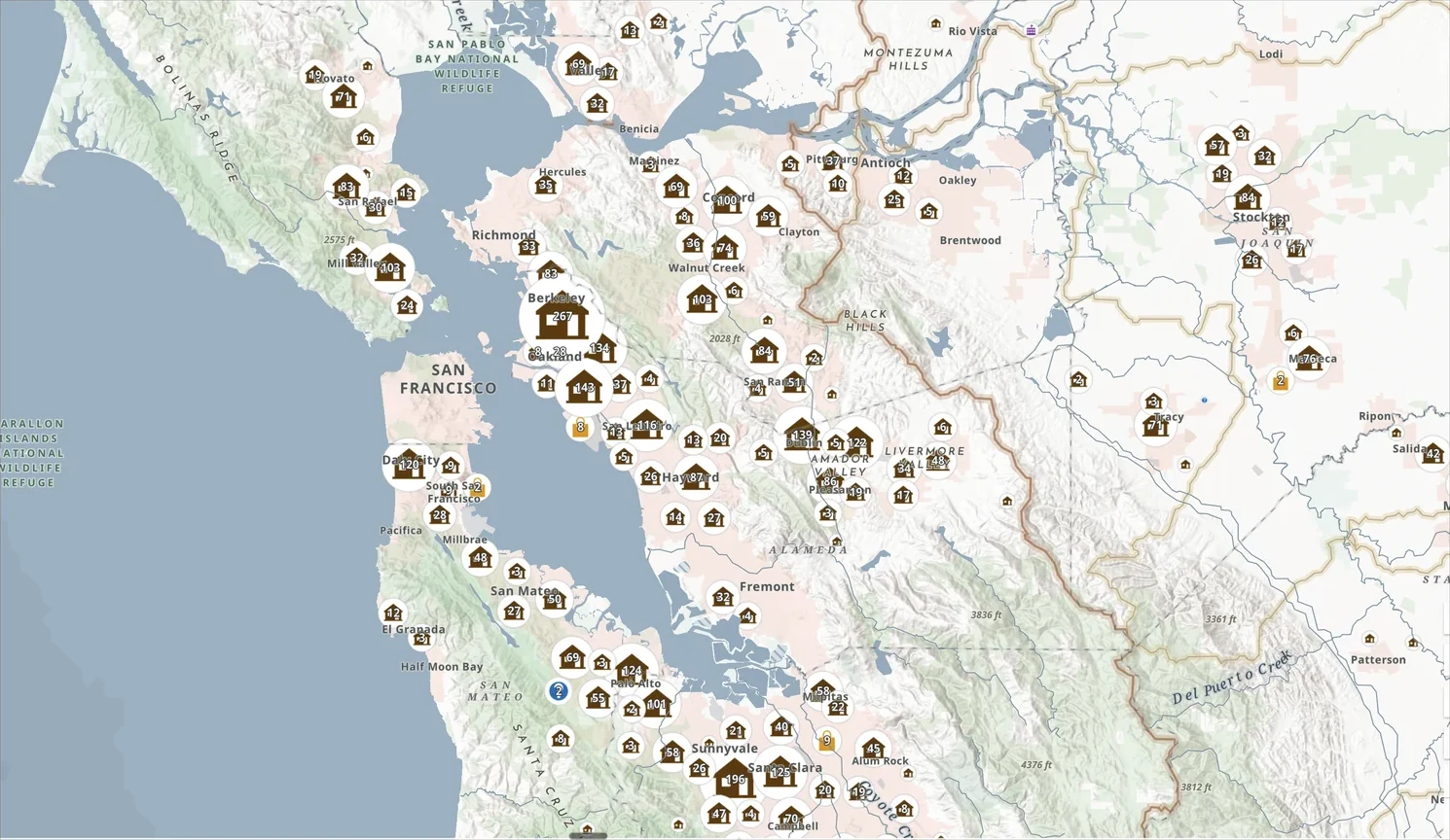
Through our Regrid partnership, permits connect directly to parcels, bringing site selection and risk analysis into one view.
03
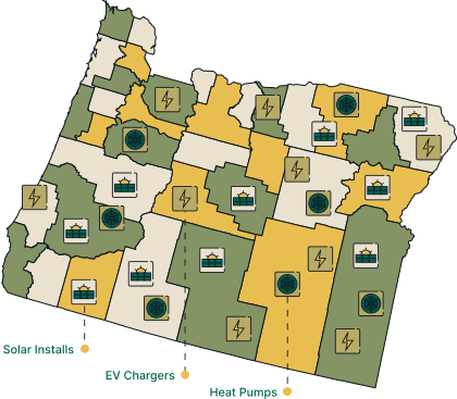
Use our hosted feature layers in ArcGIS Online and ArcGIS Pro, or import the data into QGIS and other GIS platforms.
ArcGIS Online
Hosted feature layers
ArcGIS Pro
Desktop GIS analysis
QGIS
Open-source friendly
04
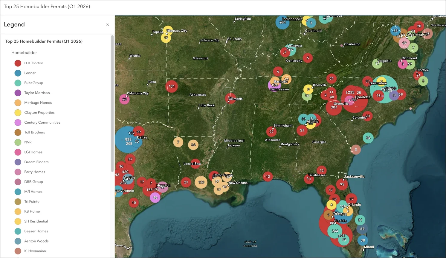
Permits are the earliest geospatial signal of what's getting built, so teams can act before construction starts.
No ETL
Layers load straight into ArcGIS or QGIS—no bulk uploads, no data wrangling.
No storage cost
We host the geodatabase, so you don't pay to store 196M+ permit records.
Always current
Permit layers refresh automatically twice a month—no re-importing.
Talk to our GIS team about the geographies, permit types, and layers you need. We'll scope coverage against your markets.
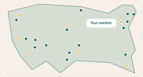
We publish your hosted feature layers and share credentials within days, not months.
Load the layers into ArcGIS or QGIS and start analyzing. Updates ship automatically twice a month.
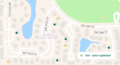
Need the full geodatabase in your warehouse?
GIS layers are one delivery format. The Shovels Data Feed delivers all seven core tables—permits, contractors, parcels, decisions, and more—to Snowflake, BigQuery, or Databricks.
Shovels delivers building permit data as hosted feature layers that work natively in ArcGIS. The geodatabase, which contains 196M+ building permits, plugs directly into your existing workflows in both ArcGIS Online and ArcGIS Pro.
Yes. Shovels data ships in standard geospatial formats that QGIS and other open-source tools read natively. Most teams work with our hosted feature layers in ArcGIS, but file-based delivery is available if your stack is built on open tooling.
The Shovels geodatabase contains 196M+ geocoded building permits from across the United States. Each permit is enriched with AI-derived attributes—like project type, value, and inspection outcomes—and linked to its contractor and property records.
Yes. Through our partnership with Regrid, Shovels integrates parcel data with permit records using linked address identifiers. That means you can analyze property and permit information together in one view, which is especially powerful for site selection and market intelligence.
Permit layers update twice a month, and the updates flow into your maps automatically. There's no re-importing or manual refreshing required—once your layers are set up, they simply stay current.
Shovels GIS data is used by real estate investors, site selection analysts, utility and telecom companies, building material suppliers, government agencies, and academic researchers—anyone who needs to see construction activity as geospatial intelligence.
Talk to our GIS team about coverage, layers, and pricing for your use case.