

There's no official record that says a building has gone vacant. But insurers and developers still need to know. A permit history that suddenly goes quiet, or a demolition permit, can be part of the answer. Imagery, utility data, and occupancy records can add more to the picture. No single dataset tells the whole story, but put together, they get pretty close.
That's just one example of a problem that our partnerships help solve. I'm VP of Business Development and Partnerships at Shovels, and I spend most of my week with our customers and the companies they already buy data from.
For many of our customers, permit data on its own can provide the lead lists and competitive intel they need. But for some customers, it's one essential chapter among many, and my job is to make sure it fits cleanly with the rest of the book.
When permits are one part of the story
Some teams and developers build on our API or web app and get exactly what they need. Our enterprise customers, however, rarely stop there. They source permit, contractor, and decisions data from us, then license parcels from one provider, property attributes from another, and demographic or risk data from a third. Their teams combine all of it to make decisions: where to build fiber, which roofs to re-underwrite, which market to enter next.
That's where it gets tricky. Addresses don't match, geocodes miss, and every vendor names their fields differently. The data lives across warehouses, GIS platforms, and CRMs, and teams spend weeks cleaning and joining it before they can use it.
Our partnerships exist to take that work off their plates: we connect the datasets ahead of time, so customers can get straight to the questions they're trying to answer.
Two things decide who we partner with
Before we commit to a new partnership, I always ask two questions.
- Does our data get more valuable when it's connected? The best partners have data that makes ours more useful, and vice versa. When Shovels permits share a key with a partner's records, we want customers to move straight to analysis and skip weeks of address matching or data cleaning. In other words, we want the win-win: less effort and faster answers for the customer, and a better product for both of us.
- Does it fit how our customers already work? We don't pick partners based on the flashiest logos on the market. We pick them based on where our customers already are. When enough customers tell us they use Regrid, Precisely, ArcGIS, or Snowflake, that's the signal, and we do the integration work so they don't have to. We also consider the buyer path. Sometimes the hardest part isn't joining the data; it's adding one more vendor contract. That's part of why Shovels is available through Google Cloud Marketplace, where customers can buy using cloud commitments they already have.
If a partnership doesn't pass both tests, it’s probably something that looks good on a slide but doesn’t pay off in practice.
How one partnership grew
Our partnership with Precisely is an example of how our collaborations can unlock more opportunities for our customers.
We started small, on purpose. Instead of negotiating a broad partnership up front, we began with the simplest useful connection: an ID-to-ID link between Shovels permits and Precisely's property records. It was quick to agree on and quick to ship. Today, through Precisely's Data Link program, more than 150 million address-resolved Shovels permits are pre-linked to Precisely's property, location, demographic, and risk data using persistent IDs.
That link bolstered what customers could do. Insurers can see whether a roof was replaced, a pool went in, or a basement was finished. Telecom teams can spot new subdivisions and commercial-to-residential conversions early enough to plan network builds. Logistics and retail teams get visibility into sites that don't have a final address yet.
Once customers started using it, they shared new use cases with us. We're now working with Precisely on new initiatives, including joint work with their telecom and insurance teams and an early look at a lightweight alert product built on the shared IDs. None of that was on the roadmap when we started. It came from customers using the connected data and telling us what they needed.
This is the pattern we look for when we partner with someone new. Start with a real connection, watch how customers use it, and build from there.
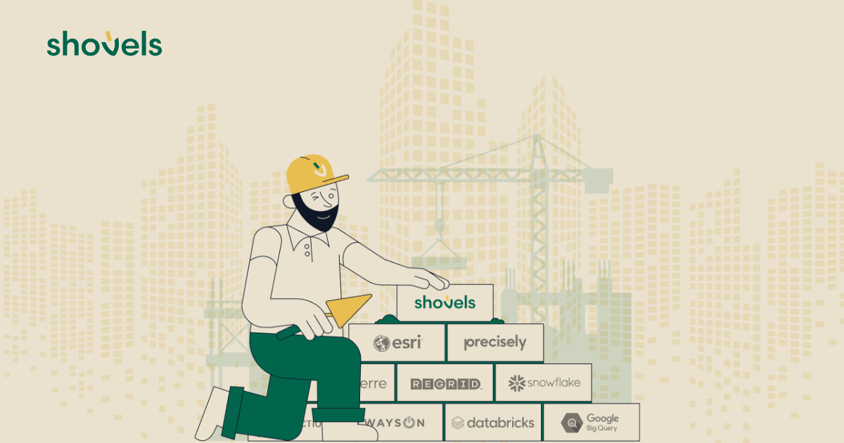
Precisely isn't the only one. Every Shovels permit carries a Regrid parcel ID. Our data is live in the Esri Living Atlas. It's shared directly into Snowflake, BigQuery, and Databricks, so data teams never have to build a pipeline. It shows up inside Cherre and Autodesk Construction Cloud. Through Always On Data, it becomes a digital audience a brand can reach while a project is still live, including through LiveRamp.
You can see the full list, and what each partnership unlocks, on our partners page.
Looking ahead to what's next
Many of our customers are building their own AI workflows on top of our data, and AI has been a focus for Shovels since the beginning. Shovels is part of the Claude Partner Network at Anthropic, a member of the OpenAI Partner Network, and a Strategic Startup Partner in Google Cloud's partner program. It's early, but the goal is the same as with every partner: someone should be able to ask a question about the built world in plain language, inside the tools their team already uses, and get the answers they need without downloading a file.
That Google Cloud relationship is already turning into product. We're working with their team on pre-built agents that analyze Shovels data inside BigQuery, and our CLI lets an agent do the first pass across permits, contractors, decisions, and properties before a person picks it up.
As we keep building, we're asking the same questions we always do. If you're stitching together five or six data providers, which one is causing the most pain right now? Which vendor do you wish we already worked with? And where does your team work every day that you'd like to see Shovels data?
If you have a vendor request or want to partner with us, let's talk. Contact us directly.
Frequently Asked Questions
- How does Shovels choose data partners?
-
Shovels asks two questions before committing to a partnership. First, does each company's data get more valuable when it's connected, so customers can skip address matching and go straight to analysis? Second, does the partnership fit how customers already work, including the tools they use and how they buy data? A partnership has to pass both tests.
- How are Shovels permits linked to Precisely data?
-
Through Precisely's Data Link program, more than 150 million address-resolved Shovels permits are pre-linked to Precisely's property, location, demographic, and risk data using persistent IDs. The connection started as a simple ID-to-ID link between Shovels permits and Precisely's property records. Insurers, telecom teams, and logistics and retail teams use it to track property changes and new development without matching addresses themselves.
- Which platforms and data providers does Shovels integrate with?
-
Every Shovels permit carries a Regrid parcel ID, and Shovels data is live in the Esri Living Atlas. It's shared directly into Snowflake, BigQuery, and Databricks, and it shows up inside Cherre and Autodesk Construction Cloud. Through Always On Data, it can also become a digital audience, including through LiveRamp. The full list is on the Shovels partners page.
- Can I buy Shovels data through Google Cloud Marketplace?
-
Yes. Shovels is available through Google Cloud Marketplace, so customers can buy using cloud commitments they already have instead of adding a new vendor contract. Shovels is also a Strategic Startup Partner in Google Cloud's partner program and is working with Google Cloud on pre-built agents that analyze Shovels data inside BigQuery.
- Why do enterprise teams combine permit data with other datasets?
-
Permit data answers some questions on its own, but enterprise decisions like where to build fiber or which roofs to re-underwrite usually need parcels, property attributes, and demographic or risk data too. Combining those sources is hard because addresses don't match and every vendor names fields differently. Pre-linked partnerships remove weeks of cleaning and joining before teams can use the data.