Shovels feeds live, AI-powered building permit data directly into your Esri ArcGIS platform.
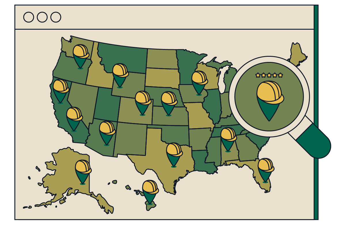


Geospatial intelligence for the building trades
Building permits are inherently geospatial objects that provide the earliest signal of market activity. Use them to see future developments first, optimize site selection, and de-risk major investments. ArcGIS Web Map
Geospatial building permit data
We built the most comprehensive geospatial database of building permits in the market, enabling you to see what's getting built and where, before anyone else.
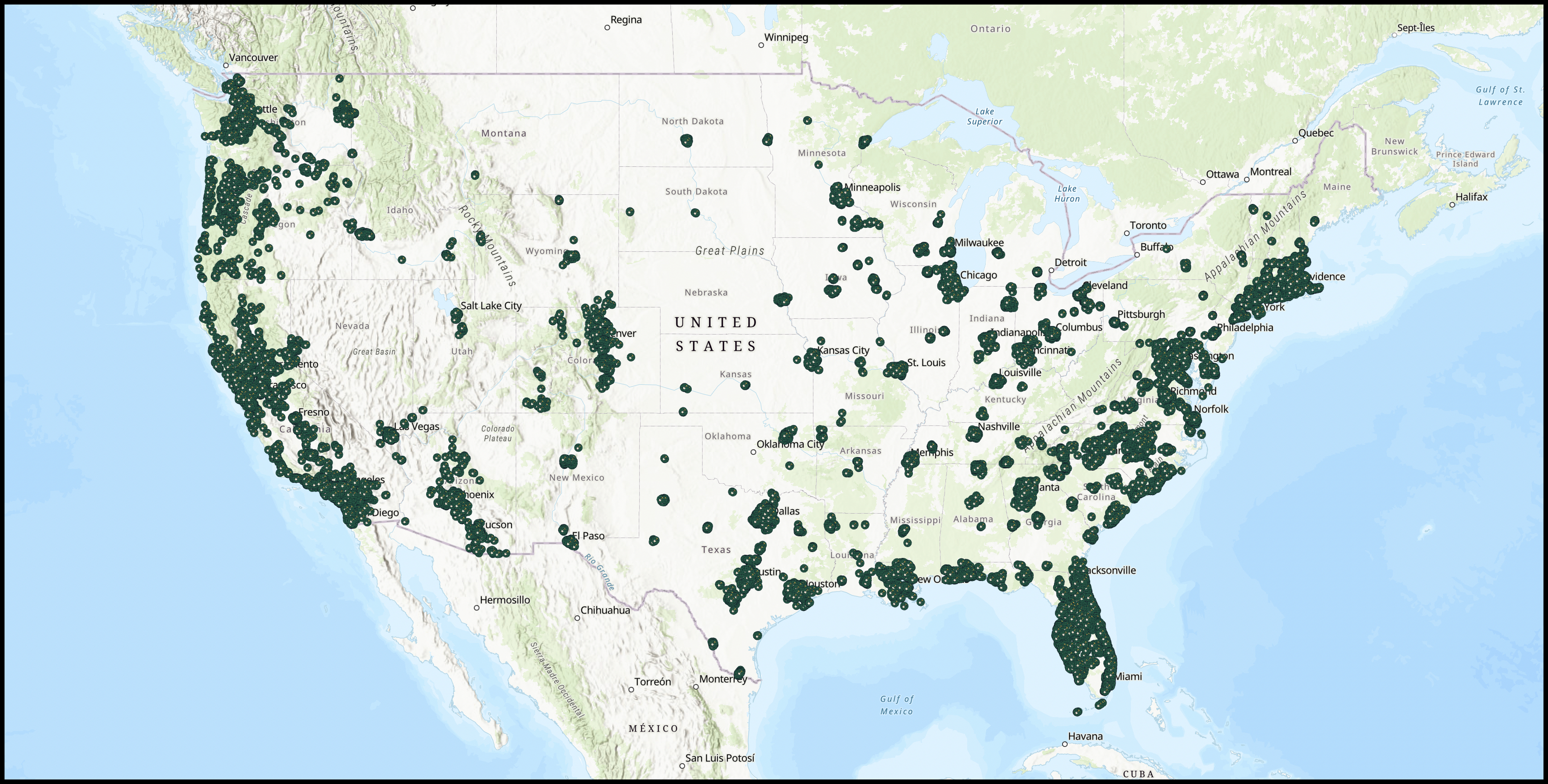
Shovels delivers building permit data as hosted feature layers in ArcGIS. The geodatabase containing 130M+ building permits is accessible directly within your existing ArcGIS workflows, including ArcGIS Online and ArcGIS Pro.
Geospatial permit data supports site selection, market intelligence, competitive monitoring, and investment risk assessment. Building permits are the earliest signal of market activity, letting you see future developments before construction begins.
The Shovels geodatabase contains over 130M+ geocoded building permits from across the United States, each enriched with AI-derived attributes and linked to contractor and property records.
Yes. Through the Regrid partnership, Shovels integrates parcel data with permit records using linked address identifiers. This enables combined property and permit analysis for enhanced site selection and market intelligence.
Shovels GIS data is used by real estate investors, site selection analysts, utility companies, building material suppliers, government agencies, and academic researchers who need geospatial construction activity intelligence.